
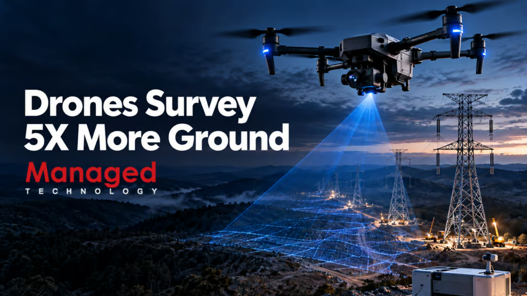
Automated beyond visual line of sight (BVLOS) flights and drone-in-a-box hardware are giving construction teams a faster, safer way to document progress on large infrastructure projects, and the same workflow is starting to reach smaller commercial sites along the Grand Strand. Knowing what the technology actually does helps local builders and developers judge whether an automated aerial survey is worth booking from a drone pilot in Myrtle Beach or the surrounding area.
What is a BVLOS drone site survey?
A BVLOS drone site survey is an aerial mapping or inspection flight conducted beyond the unaided sight of the operator. On a traditional visual line of sight (VLOS) job, a pilot and visual observer must keep eyes on the aircraft at all times, which caps a single flight at roughly 0.5 to 1 kilometer of range. A BVLOS authorization lifts that cap, with regulators approving missions that extend around 8 to 10 kilometers from the launch point in suitable terrain.
Drone-in-a-box takes the next step. Instead of a pilot driving to the site with a case of gear, a weatherproof docking station sits permanently on the property. The dock charges the aircraft, launches it on a programmed schedule, and lands it again when the survey is done. The same flight is run from a remote operations center hundreds of kilometers away.
How automated flights are changing construction monitoring
Construction teams have always needed a current picture of the site. Photogrammetry and LiDAR flights have cut the cost of that picture over the last decade, but the bottleneck has stayed the same: someone has to go to the site, set up the drone, fly the pattern, pack up, and drive home.
Automated flights change that math in three concrete ways.
- Coverage per day rises sharply. Operators working under a BVLOS authorization report surveying up to five times more area in a single day than a conventional on-site survey, because the flight time is no longer capped by what a single pilot can keep in line of sight.
- Personnel stay out of active work zones. Remote flights remove the need for survey staff to walk into difficult terrain or live construction areas, which lowers both the safety risk and the coordination overhead with the trades on site.
- Repeat surveys become routine, not special projects. A dock on the property can fly the same pattern every two weeks on its own, so the site model is always within a few days of current. That changes progress meetings from a guess based on last month’s drone flight to a real comparison.
What the HumeLink West project shows about the workflow at scale
The clearest current example of the workflow is the HumeLink West electricity transmission project in New South Wales, Australia. The work covers roughly 140 kilometers of new 500kV double-circuit transmission lines and two substations, with a permanent DJI Dock 2 installed at the Maragle substation site running automated flights every two weeks.
The dock is operated from a Remote Operations Centre in Lane Cove, Sydney, more than 350 kilometers from the site. Surveys run under a Broad Area BVLOS Drone Approval from Australia’s Civil Aviation Safety Authority (CASA), which lets the operator self-authorize qualifying missions in remote and sparsely populated areas instead of asking for a new permit every flight.
The survey data flows into DroneDeploy, a reality capture platform that turns the imagery into 2D and 3D site models. Construction teams use those models to compare site conditions week over week, track progress against schedule, and flag issues early. On a transmission corridor that long, that kind of repeatable, remote comparison is what makes the project manageable from a head office rather than from a truck on a dirt road.
What Grand Strand builders should ask before booking aerial monitoring
Most projects between Conway and Pawleys Island will not need a permanent dock and a remote operations center. A one-off or recurring on-site BVLOS survey from a local drone pilot in Myrtle Beach is enough for subdivisions, commercial buildouts, and dune-line construction documentation. The questions worth asking are the same ones the HumeLink team had to answer.
Is the pilot operating under a current BVLOS or EVLOS authorization?
Flying beyond visual line of sight in controlled or populated airspace generally needs a specific waiver or authorization from the Federal Aviation Administration, and the paperwork varies by mission. A pilot who already holds the right approval can usually start work faster than one who has to apply for each new site.
How often will the site be flown, and what does the deliverable look like?
A single flyover produces a snapshot. The real value of automated monitoring is the comparison: this week versus last week, this phase versus last phase, planned grade versus current grade. Builders get the most out of the flight when the output is a layered 2D map or 3D model they can load into their existing project software, not a folder of raw photos.
How is the data kept current without extra site visits?
For projects that run longer than a few months, recurring flights tied to construction milestones keep the record straight. The same hardware setup that runs one survey can run the next one with a different flight pattern, and the cost per flight drops once the routing and access plan are in place.
What does the safety case look like for people on the ground?
Reducing the number of people walking into active work zones is one of the consistent wins cited on automated survey programs, and the same logic applies on a coastal jobsite where access changes with tides and weather. A written plan for how the flight is coordinated with subcontractors is a basic part of the deliverable, not an add-on.
Where automated drone monitoring is heading next
The companies running drone-in-a-box networks at the moment expect their combined fleet to roughly double in size over the next year, which means more regions will have a local dock within range and lower per-flight pricing for new customers. For builders and developers on the Grand Strand, that points to a near future where weekly aerial progress documentation on a commercial site is a routine line item rather than a special project.
Ranking position across a service area is what a geo grid report shows, and SEOScanPro’s GEO Grids map visibility by town across the Grand Strand so a builder can see exactly which communities the site is showing up in and which ones it is not.
FAQ
What is a BVLOS drone survey?
A BVLOS (beyond visual line of sight) drone survey is an aerial mapping or inspection flight flown beyond the unaided sight of the pilot on the ground. Operators need a specific regulatory authorization, and approved missions can extend roughly 8 to 10 kilometers from the launch point.
What is drone-in-a-box?
Drone-in-a-box is a permanently installed docking station that charges, launches, and recovers a drone on a set schedule. The same flight can be monitored and controlled from a remote operations center hundreds of kilometers away, so no pilot has to drive to the site for routine surveys.
How do automated drone surveys help construction monitoring?
Automated flights cover up to about five times more area per day than a single on-site survey, keep personnel out of active work zones, and make recurring progress documentation routine. The resulting 2D and 3D site models let construction teams compare site conditions over time and flag issues earlier.